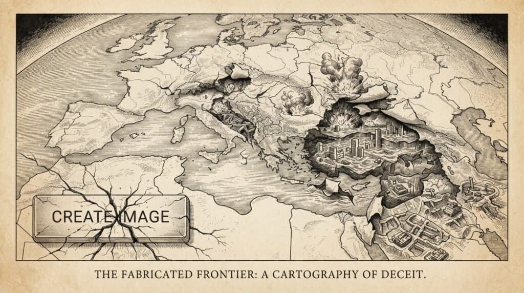
Google pulled its AI satellite imagery feature from Google Earth after just 24 hours, signaling a serious misstep. The tool, introduced on July 30, 2026, let users create AI-generated images based on real-world locations using the Nano Banana 2 model. However, the quick removal came after multiple instances of users generating false satellite images depicting fake disasters and conflict zones emerged online.
The generated images included fabricated scenes like a Paris explosion, a nuclear site in Iran, and a bomb crater in Russia. Despite Google embedding a SynthID watermark to label AI content, this failed to prevent misuse or stop damaging misinformation from spreading. The watermark only flagged images after their creation instead of blocking harmful prompts in real time.
Experts and researchers demonstrated the tool’s vulnerability within hours, showing how easy it was to produce convincing but entirely false imagery of politically sensitive events. This exposed a major risk with combining generative AI and trusted geographic data, turning a reliable mapping resource into a potential misinformation factory.
Google’s rapid retreat highlights the challenge of balancing innovation with platform integrity, especially when dealing with AI-generated content layered on real geography. The episode shows the limits of watermarking as a safeguard and raises questions about future uses of generative AI in satellite imaging.
This material is informational and not financial advice.